
The Mosaic project identifies, gathers, harmonizes, and distributes surviving historical census microdata for Europe and beyond. It aims at building a comprehensive and detailed resource for the historic study of populations by historians, demographers, economists, and other researchers. The goal of the Mosaic project is to collect and distribute historical census microdata from regions of Continental Europe where complete centralized records are not available. In gathering censuses of regions, kingdoms, or places where census records were decentrally located and partially surviving, the Mosaic project seeks to put the pieces back together again.
The Mosaic project was founded by a consortium of historical social scientists in Europe. Data for the project is provided by its partners, which include an international set of institutions in Europe and beyond. Mosaic utilizes data integration and variable harmonization standards of historical integrated census microdata projects such as the Integrated Public Use Microdata Series (IPUMS) and the North Atlantic Population Project (NAPP). Records are distributed in the same integrated format, so that historical comparisons can be made across time and space.
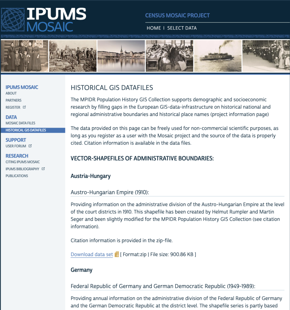
Census Mosaic Project: MPIDR Population History GIS Collection
Mosaic Project
Historical GIS datafiles
The MPIDR Population History GIS Collection supports demographic and socioeconomic research by filling gaps in the European GIS-data-infrastructure on historical national and regional administrative boundaries and historical place names (project information page)
The data provided on this page can be freely used for non-commercial scientific purposes, as long as you register as a user with the Mosaic project and the source of the data is properly cited. Citation information is available in the data files.
Vector-shapefiles of administrative boundaries:
Austria-Hungary
Austro-Hungarian Empire (1910):
Providing information on the administrative division of the Austro-Hungarian Empire at the level of the court districts in 1910. This shapefile has been created by Helmut Rumpler and Martin Seger and been slightly modified for the MPIDR Population History GIS Collection (see citation information).
Citation information is provided in the zip-file.
Download data set [ Format:zip | File size: 900.86 KB ]
Germany
Federal Republic of Germany and German Democratic Republic (1949-1989):
Providing annual information on the administrative division of the Federal Republic of Germany and the German Democratic Republic at the district level. The shapefile series is partly based on a 2009-shapefile of Federal Agency of Cartography and Geodesy (Bundesamt für Kartographie und Geodäsie) (see citation information).
Citation information is provided in the zip-file.
Download data set [ Format:zip | File size: 25.82 MB ]
German Empire (1871-1945):
Providing annual information on the administrative division of the German Empire at varying geographic detail across states and time. For Prussia (1871-1912), the geocodes are based on the IDs used by Patrick Galloway’s collection of Prussian statistical data.
Citation information is provided in the zip-file.
Download data set [ Format:zip | File size: 79.94 MB ]
German Empire Statistical Units (1871-1931):
Providing annual information on the statistical units of the German Empire at the level of the small administrative areas (kleine Verwaltungsbezirke). Differs from the map series on the German Empire (1871-1945) in the administrative division of Lippe, Mecklenburg-Schwerin and Mecklenburg-Strelitz. This map series might be preferable to visualize statistics published by the German Empire Statistical Office or other institutions of the German Empire such as the Imperial Health Office.
Citation information is provided in the zip-file.
Download data set [ Format:zip | File size: 61.88 MB ]
German Union (1815-1870):
Providing annual information on the administrative division of the German Union at varying geographic detail across states and time. All those states are covered, which also became part of the German Empire in 1871 (this excludes Austria, Luxembourg and Limburg, among others). For Prussia (1860-1870), the geocodes are based on the IDs used by Patrick Galloway’s collection of Prussian statistical data.
Citation information is provided in the zip-file.
Download data set [ Format:zip | File size: 56.67 MB ]
Germany (1990-2009):
Providing annual information on the administrative division of the Federal Republic of Germany at the district level. The shapefile series is partly based on a 2009-shapefile of Federal Agency of Cartography and Geodesy (Bundesamt für Kartographie und Geodäsie) (see citation information).
Citation information is provided in the zip-file.
Download data set [ Format:zip | File size: 7.24 MB ]
Albania
Albania (northern and central part, 1918):
Providing information on the administrative division of Albania at the level of the municipalities in 1918. The shapefile only covers the northern and central part of present-day Albania, which had been occupied by the Austro-Hungarian Empire during World War I. In 1918, a first census has been carried out in the occupied territories, whose results can be linked to the shapefile. This shapefile has been created by Siegfried Gruber and been slightly modified for the MPIDR Population History GIS Collection (see citation information).
Citation information is provided in the zip-file.
Download data set [ Format:zip | File size: 148.41 KB ]
Europe
Europe (1900-2003):
Providing information on the administrative division of the European states at varying geographic detail in 30-years intervals (1900, 1930, 1960, 1990, 2003). Until 1960, geocodes are based on the IDs used in the Princeton European Fertility Project. The shapefile-series is partly based on a shapefile by EuroGeographics (see citation information).
Citation information is provided in the zip-file.
Download data set [ Format:zip | File size: 37.55 MB ]
Kurland (Latvia)
Kurland (1797):
Providing information on the administrative division of the Russian Governorate of Kurland in 1797.
Citation information is provided in the zip-file.
Download data set [ Format:zip | File size: 33.23 KB ]
Poland
Poland (1770-1978):
Providing information on the administrative division of Polish-Lithuania in 1770, the Kingdom of Poland in 1897 and Poland in 1931, 1970 and 1978 at varying geographic details.
Citation information is provided in the zip-file.
Download data set [ Format:zip | File size: 1.73 MB ]
Serbia
Serbia (1865-1895):
Providing information on the administrative division of Serbia at the level of districts (srez). This shapefile-series has been created by Siegfried Gruber and geo-referenced by Heidi Harris for the MPIDR Population History GIS Collection (see citation information).
Citation information is provided in the zip-file.
Download data set [ Format:zip | File size: 195.18 KB ]
Geographical area
Keywords
Published : June 24, 2025