
Territory of Russia Collection, 19th-20th Century
Russian Federation is the largest state in the world in respect of the territory it occupies which had been forming for many centuries. The subject matter related to the history of formation of the territory of our country and its current state is priority for the Presidential Library. For the 1st September the Presidential Library has prepared an electronic collection including scientific, popular science and educational editions, archival documents, maps, documentary film and photo which describe the national territory from different aspects and in different historical periods.
The core of the collection is represented by the documents of pre-revolutionary period as well as the publications issued before 1940. In future its chronological framework will be expanded to include modern publications. The collection contains a significant number of materials not only on the territory of the modern Russia, but also on the territories of the neighboring countries which once formed a single state with Russia in the period of the Russian Empire before 1917 as well as during the Soviet age. The scope of the documents is divided into various topics supplied with brief summaries. Each topic begins with general materials. Other documents are arranged in accordance with logic structure of the topic: in alphabetic order, in order of place names or in direct chronology of the events.
Territory of Russia: general information. The section contains the materials on the territory of Russia in general (statistic data, information on area, climate, natural phenomenon, natural resources, etc.). Documents in subsections related to natural resources, are arranged in alphabetical order in accordance with place names. Reference editions are represented primarily by geographic dictionaries. Mapping of natural phenomenon and resources is represented by “Maps and plans” section.
- Territory of Russia in general
- Minerals, land and vegetation resources
- Water resources
- Reference editions
Formation of the territory of Russia. Land reclamation. The section contains materials covering the process of formation and development of the Russian state territory and the national boundary. Documents, relating to the lands which are now beyond the Russian borders, were selected in view of the historical period while they were a part of the Russian or Soviet state. Material on the historical geography of the country is also available in “Maps and plans” section.
- General section
- Formation of the European territory
- Reclamation of Siberia
- Reclamation of the Far East and Alaska
- Advancement to the north of the Black Sea region and Caucasus
- Advancement to the Middle Asia
- National boundary
Russia – a maritime power. The section highlights the materials related to sea possessions of Russia. They cover such topics as struggle for access to seas, creation of strong points at seashores, research expeditions and round-the-world tours, description of sea resources, sea maps and sailing directions. Special attention is attended to the development of the Arctic and the Northern Sea Route.
- General section
- Black Sea basin
- Caspian Sea
- Pacific Ocean
- Baltic
Development of the Arctic. The collection includes research works, essays, memoirs, archival files, official documents, newsreels, photographs and other materials that tell about the arctic travels and expeditions, the Arctic Ocean, the adjoining territories, and the lives of their inhabitants, the development of polar lands from ancient times to the present. There is a section on the Northern Sea Route, which played a significant role in the development of the Arctic; as well as materials of art exhibitions related to the North.
Regions of Russia. The section contains local history materials covering the history, potential and features of development of particular Russian regions in different historical periods. Special attention attended to the documents on the development of administrative and territorial division of the country and in particular to the formation of provinces as well as publications and archival documents on centers of population. The material is divided into three subsections in accordance with historical ages and is arranged in order of place names of administrative units within major geographical regions. Maps and illustrations on particular regions are available accordingly in “Maps and plans” and “Graphic materials” sections.
- General section
- The Russian Federation
- Soviet Russia (from 1917 to 1991)
- Russian Empire (before 1917)
Communication lines. The section highlights publications, maps and archival documents reflecting the importance of the Russian water routes, dirt roads, highways, mail routes and railways for maintaining connection between different parts of the country. In perspective the materials on air lines will also be included.
- General section
- Dirt roads, highways and mail routes
- Railways
- Water routes
Study of the territory of Russia. The section contains materials on the activity of the Russian geographic organizations and particular geographers and students of local history, scientific research in the field of geography as well as textbooks on different fields of geography (general, historical, economical, etc.) including educational atlases. Studies on particular Russian territories are available in the “Regions of Russia” section.
- Scientific researches
- Geography textbooks
- Individual bibliography of geographers and travellers
Maps and plans. The section contains maps which reflect natural, historical, political and economical features of development of the Russian territory, itineraries of research expeditions, plans of particular centers of population. The selection of works on cartography is highlighted. Since it was Irkutsk Regional State Universal Research Library which had made a major contribution to the collection development, the materials, for the most part, relate to Siberia. Maps are arranged in order of place names of administrative units within major geographical regions. Besides, educational atlases are available in the “Study of the territory of Russia” section; roadmaps are presented in the “Communication lines” section and sea maps – in the “Russia – a maritime power” section.
- Works in the field of cartography
- Atlases
- Physical maps
- Land and forest resources
- Water resources
- Natural Phenomena
- Historical Maps
- The political and administrative maps
- Communication Routes
- Economic Maps
- Ethnographic Map
- Plans of settlements
Graphic materials. The section begins with the collection of photographs by S. M. Prokudin-Gorsky made at the turn of 19th – 20th centuries from the holdings of the Library of Congress. The photographs are arranged in alphabetic order of place names. Selections of illustrations from the holdings of the Presidential Library, information centers of the Russian regions and countries of the near abroad are also arranged by groups in alphabetic order of place names.
- Коллекция С. М. Прокудина-Горского из фондов Библиотеки Конгресса США
- A collection of photos U.K. Brumfield
- Altai in the beginning of 20th century
- Cities of Belarus at the beginning of XX century
- Belgorod in postcards
- Vladimir in postcards
- The port and the city of Dalny. 1902
- Views of Kiev in the beginning of 20th century
- Kostroma in postcards and photographs
- Crimea in postcards
- Moscow in postcards (1890-1900)
- Plans Novo Nickolaevsk
- Omsk in postcards
- Пенза. Фотографии 1860-х-2011-х годов.
- Псков в открытках
- Historical panorama of St. Petersburg and its outskirts
- Memorable places of St. Petersburg, associated with the Patriotic War of 1812
- Фотографии Санкт-Петербурга И. К. Бианки. 1852 – 1855
- The Great Way: Types of Siberia and the Great Siberian Railway. 1899
- Types of North-Western Siberia. 1882
- Sochi postcards. The period 1934-1937.
- Photos of the old Sochi. [before 1940]
- Старая Ладога в фотографиях
- Research expeditions of 1920-1940s (from the Russian State Documentary Film and Photo Archive)
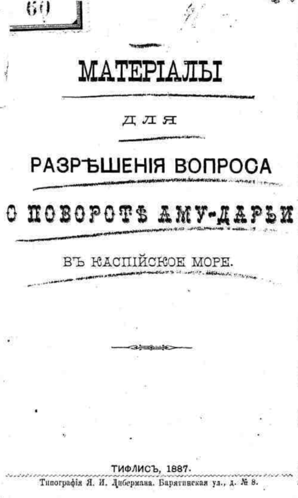
[Illustration: Materials for resolving the issue of the turn of the Amu Darya in the Caspian Sea. - Tiflis: type. ME AND. Lieberman, 1887. - 51 p. ; 21.]
Keywords
Published : February 10, 2022