
The Gesher Galicia Map Room
This digital Map Room is a spin-off of the Gesher Galicia Cadastral Map and Land Owner Records Project, a long-term research project to acquire and publish land and building records in the former Austro-Hungarian province of Galicia, now Poland and Ukraine. The project inventory is large, a portion of which contains maps which are useful to historians and genealogists studying Galicia. Many of these historic maps are truly beautiful.
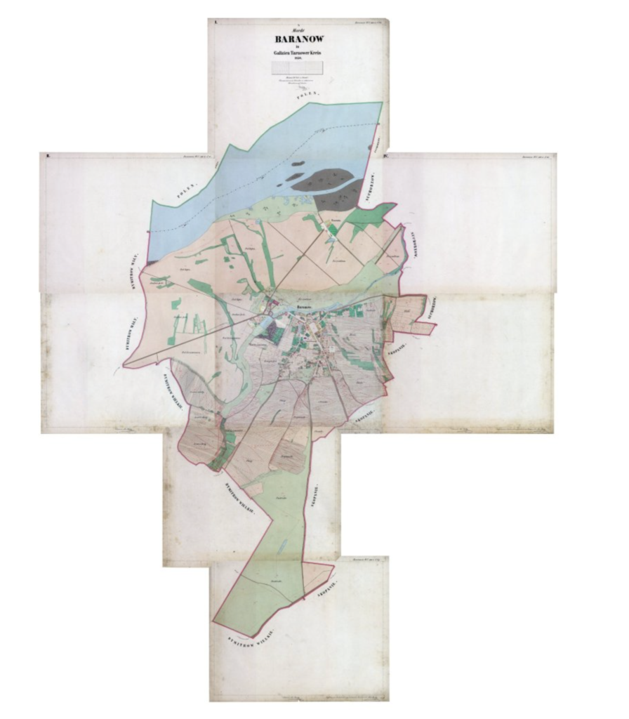
As described by Brian J. Lenius, author of the Genealogical Gazetteer of Galicia, "Three distinct property land surveys were conducted for all of Galicia during the Austrian period of the 18th and 19th centuries. These consisted of detailed records showing the size of land parcels, type of land, crops grown and more. The Austrian Stable Cadastral Survey of the 1830s to 1860s consisted of records and extremely detailed maps showing the smallest parcels of land, individual yards, houses, barns, roads, field plots, synagogues and even large trees. At least three versions of these maps were created at the time including a field sketch, a preliminary drafted version and the Cadastral Map in full color. At least one or more versions of these maps still exist for most villages."
Digital images of maps in the inventory are being acquired with permission from collections covering the historic region of Galicia, in modern Austria, Poland, Ukraine, Germany, Israel, and the United States; for more information, contact Gesher Galicia Map Room Coordinator Jay Osborn at: maps@geshergalicia.org. Historic maps were often produced on multiple sheets; to display the maps here, typically the individual sheets are digitally stitched together and then tiled to simplify viewing in a web browser; Gesher Galicia thanks MapTiler/ GDAL2Tiles, Klokan Petr Pridal, GDAL & OSGeo. The original maps are the property of the source archives; in most cases the stitched images and the viewer presented here were created by Gesher Galicia, Inc. and should not be copied.
The maps are grouped by scale (regional or town) plus a category of 'special' maps. Maps are added here as new images are collected and stitched.
Published : November 09, 2021