
Online Tool Combining Russian Old Maps and Drawings of the 16th-17th & 18th Century and Modern Google-Maps
Geoinformation system "Drawings of the Russian State in the XVI-XVII centuries".
The geographic information system "Drawings of the Russian State of the XVI-XVII centuries" opens to a wide range of users the possibility to get acquainted with the corpus of the oldest Russian cartographic sources of the XVI-XVII centuries.This work was created by the Laboratory of Historical Geoinformatics of the Institute of Universal History of the Russian Academy of Sciences (http://www.histgeo.ru/laboratory.html) in collaboration with the Russian State Archive of Ancient Acts with the financial support of the Russian Science Foundation (grant no. 14-18-02121).
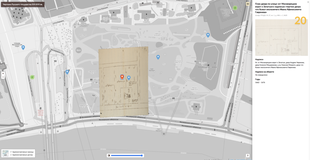
The system contains data on the overwhelming majority of currently known drawings (about 1000), the system is constantly supplemented. This work continues the study of the peculiarities of the Russian traditions of mapping drawings of the 16th-17th centuries. The main part of the drawings, taken into account in the database, managed to localize, i.e. to correlate the image on them with a modern map. Terrain depicted in these drawings, in our GIS-project is marked on the map as a polygon. In addition, the user has the opportunity to look at the "transformed" drawing, i.e. how it looked when attached to a modern map. The drawing can also be viewed in its original form with the ability to comfortably zoom, rotate, and move around the image. Each drawing has a descriptive article, the structure of which goes back to the well-known work of V. S. Kusov (Kusov V.S. Moscow State XVI - early XVIII century. A Consolidated Catalogue of Russian Geographical Drawings. М., 2007). Thanks to the table and the map, the user can search for the information he needs in different ways: by selected fields in the table, by all fields at once, by map.
Published : October 28, 2021