
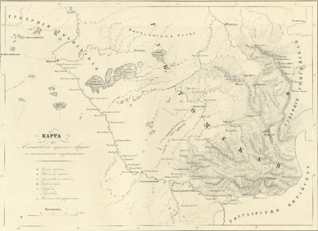
Maps of Siberia, Russia and the World, 17th-20th Century
The cartographic collection from the collections of the Department of Valuable and Rare Books reflects an inquisitive interest in the Asian territory of Russia, its natural resources and vast territories, which has persisted for a long time.
The development of Siberia, its vast territory posed grandiose geographical tasks, the solution of which belongs to the Russian science. The most important discoveries in this part of the globe were reflected in general geographic maps, from the mid 17th century to the mid 18th century, when the Great Siberian-Pacific Expedition ended. During this period, the northern and eastern borders of the Asian continent were defined and mapped, the relationship between the Asian continent and North America was established, sea routes from Okhotsk to Kamchatka and from Kamchatka to Japan were laid, the "Baikal Sea" and the most important Siberian rivers were mapped.
Further, the economic development of Siberia in the 19th and 20th centuries was reflected in the thematic maps of this territory. It is obvious that Russian geographical discoveries and explorations in Siberia and the Far East in the XVII-XX centuries made a huge contribution to world science. The General Maps of the Russian Empire, which were a new information source that made it possible to "see" the entire territory of the country, were of paramount importance for the society of the 18th century. The importance of maps, traditionally set in Russia in the service of public interests and education, was not limited to geographic content. Great attention was paid to artistic design. Illustrative cartoons and drawings glorified the military and economic power of Russia, glorified the ruling powers, and demonstrated coats of arms of provinces, vicegerencies, towns, reminded of historic events, told about the economic activities and scientific research. Therefore general maps are extremely interesting and valuable monuments of the period of formation and intensive development of Russian cartography, a unique layer of national cultural heritage. They are historical documents and works of engraving art, preserving for us spatial image of 18th century Russia, testifying about priorities of state policy and public life of that time. The digital collection "Through the Cartographer's Eyes: Siberia, Russia, the World on Geographical Maps" includes maps and atlases published in Russia, Germany, Holland, and France in the period from 1664 to 1930. The most interesting are: the facsimile edition of "Atlas of Great Elector" (the original was published in 1664), Atlas of the Russian Empire, containing the General Map of the Russian Empire in 1776, the Russian Atlas, of forty-four maps of vicegerencies, 1792, as well as the Mercator maps, drawn by F. Wrangel during his travel along the northern shores of Siberia and the Arctic Sea.
Published : March 08, 2021