Logo

Online Primary Sources

  • Home
  • All Sources
  • About
  • Newsletter

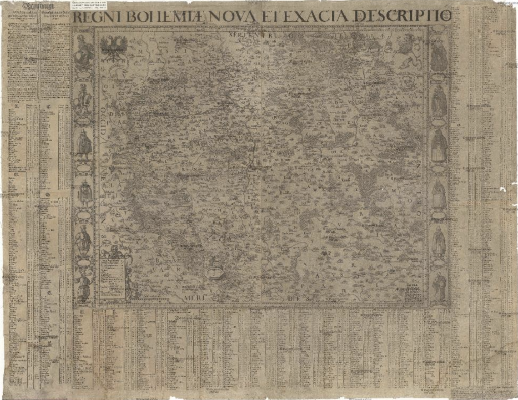
Map Collection of the Czech Republic, XVII-XIX Century


Institution

Charles University

Url

http://digitool.is.cuni.cz/R/XVQ2D8UVXD3U1JYG34NT64JB8HEP9IXRRFF56FG6IJ7V1U1INJ-00238?func=collections-result&collection_id=1984

Map collection of the Faculty of Science, Charles University
The map collection of the Faculty of Science of Charles University (formerly the State Map Collection) is one of the most important and extensive university map collections in Central and Eastern Europe. The map collection is digitized thanks to the NAKI project of the Ministry of Culture of the Czech Republic.


Type

Image

Geographical area

Czech Republic

Period

17th century18th century19th century

Language

Czech

Keywords

maps

Published : April 30, 2021

Share this source

Send by email

Share this source by email or save it by sending the data to your mail box.

Newsletter

Receive the latest sources each month

By clicking on the Subscribe button, you confirm that you have read our Data Protection policy.
Logo cnrsLogo ehessLogo cercec

The Online Primary Sources database is curated by
the french Centre for Russian, Caucasian and Central European Studies (CERCEC), a CNRS-EHESS joint research unit.

  • Credits
  • Legal Notice
  • Data Protection